

Morne Crabier Plateau
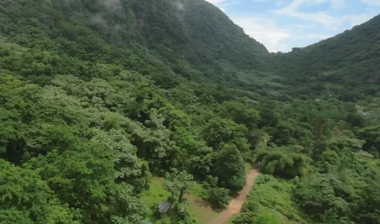
Morne Crabier Plateau is a stunning highland feature found along Segment #1 of the Waitukubuli National Trail (WNT). Rising to about 1,200 feet (366 meters) above sea level, this plateau sits between the Toloulou Valley and Soufrière Estate, offering some of the most sweeping views along the route—including the Caribbean Sea and, on clear days, nearby Martinique.
Elevation, Landscape, and Trail Experience
The hike up to Morne Crabier Plateau is moderately challenging, with steep sections requiring steady footing—especially during or after rain. The trail transitions from fertile farmlands to wild rainforest, eventually opening to a grassy, wind-swept plateau ideal for rest and photography. It serves as a welcome vantage point after the expereince of the geothermal feature of Soufrière Sulphur Springs.
Cultural Significance and Biodiversity
Historically, the area was once part of Dominica’s plantation belt, with remnants of old coffee estates nearby. Today, the plateau represents the island’s commitment to eco-tourism, attracting hiking, bird watching, and nature photographer enthusiasts. Its elevation supports a cooler microclimate and diverse flora, offering a moment of stillness along a segment known for its geological richness.