National Geographic Undertakes Survey in Dominica’s Marine Fishery Waters

The Fisheries Division of the Ministry of the Blue and Green Economy Agriculture and National Food Security is advising the public that the National Geographic Pristine Seas is undertaking an extensive survey within the marine fishery waters of the Commonwealth of Dominica.
The approval for the expedition was granted months ago and commenced in mid-November with the expected completion date 14th December 2022.
The survey work will involve assessments of our reef, species counts, habitat surveys, etc. The resulting information will be used to document and compare changes in the marine habitat and species over time to compare to data from previous studies and develop critical baseline information useful for future living marine resource management. This information will be critical to inform fishers of available fish stocks in our waters to ensure sustainable supplies of fish to local consumers. Furthermore, the National Geographic team will produce a documentary on our marine environment that has benefits that will redound to the fisheries, tourism, and environment sectors.
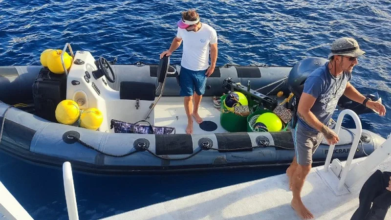
The expedition is being conducted via a chartered foreign vessel the BVI Aggressor. Officials from the Fisheries Division and other marine stakeholders have been partnering with the 14-member team to facilitate the work. The entire west Coast from Scotts Head to Portsmouth has already been surveyed.
The team is presently situated in the waters of the East and North East areas assessing the marine space, where there are thriving scenic reefs.
This article is copyright © 2022 DOM767


