Tropical Storm Dorian continues towards Windward Islands
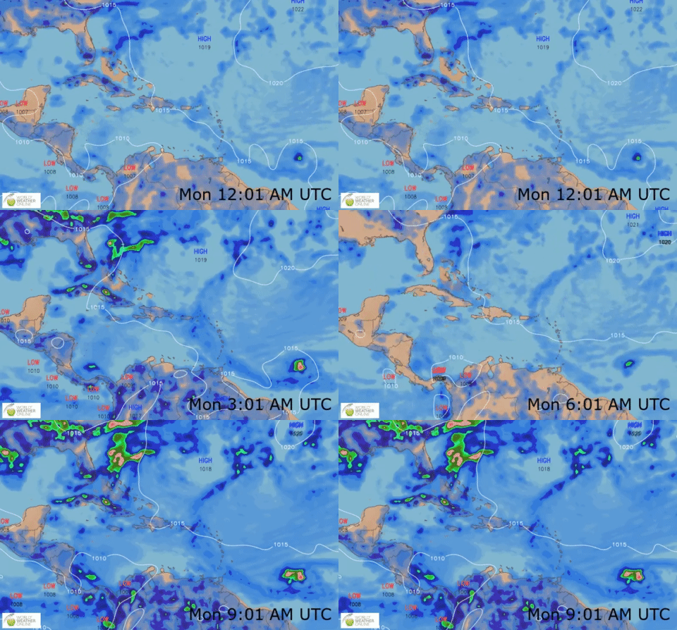
At 8am, Tropical Storm Dorian was located near Latitude 11.1N and Longitude 52.1W approximately 515 miles east southeast of Barbados (1100km or 683 miles southeast of Dominica). Dorian is moving towards the west at 13mph (20km/h). A turn toward the west-northwest is forecast on Monday and Tuesday.
On the forecast track, Dorian is now expected to be near the central Lesser Antilles, including Dominica, late Monday or early Tuesday.
Dorian could be near hurricane strength over the Eastern Caribbean Sea. Tropical-storm-force winds extend outward up to 25 miles (35 km) from the center.
The center of Dorian is likely to pass to the south of Dominica. Regardless, a deterioration in weather conditions including moderate to heavy showers, thunderstorms and strong gusty winds, is expected across Dominica from overnight Monday and throughout Tuesday. Rainfall projection is for 2 to 4 inches (50-100mm) across Dominica with higher amounts in elevated areas.
Residents are therefore advised to be VIGILANT, make the necessary preparations, keep updated on this system.
This article is copyright © 2019 DOM767


